
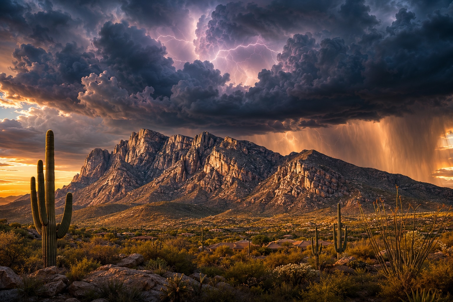
A scene in the desert wash of Honey Bee Canyon with the Catalina Mountains in the distance in Tucson, Arizona.
Oro Valley is a great place to live for seniors who love the outdoors. There are many beautiful trails to explore, with something for everyone. Here are 10 of the best hikes in Oro Valley for seniors. Take water, consider the temperature – summers on the trail can be very hot, and ensure someone knows you are hiking!
1. Sentinel Peak Paved Loop
- Length: 1.7 miles
- Difficulty: Easy
- Location: Sentinel Peak Park, 6960 E. Speedway Blvd., Tucson, AZ 85718
- Parking: Parking is available at the park.
Sentinel Peak Trail is a paved trail that offers stunning views of the Tucson Mountains. It’s a great option for seniors who want a leisurely hike with amazing views.
“A” Mountain, Mission View, and Sentinel Trail
- The stone “A” was created by the University of Arizona students in 1915 and finished in 1916
- Length: 1.1 miles
- Difficulty: Easy
- Location: 1001 S. Sentinel Peak Road
- Cars are allowed from 2 p.m. to Sunset Tuesday – Thursday
- Cars are allowed from 11 a.m. to sunset Friday – Sunday
2. Honeybee Canyon Loop Trail in Oro Valley
- Length: 3.1 miles
- Difficulty: Easy
- Location: Honeybee Canyon Park, 13880 N. Rancho Vistoso Blvd., Oro Valley, AZ 85755
- Parking: Parking is available at the park.
Honeybee Canyon Loop Trail is a well-maintained trail that winds through a scenic canyon. There are several small waterfalls along the trail, and the views of the Tortolita Mountains are beautiful. Look for the petroglyphs.
3. Linda Vista Trail in Oro Valley
- Length: 2.2 miles
- Difficulty: Moderate
- Location: Linda Vista Park, 730 E. Linda Vista Rd., Oro Valley, AZ 85737
- Parking: Parking is available at the park.
Linda Vista Trail is a popular trail that offers stunning views of the Tucson Mountains. This area is very popular for hiking, horseback riding, and running, so you’ll likely encounter other people while exploring. The trail is open year-round and is beautiful to visit anytime. Dogs aren’t allowed on this trail. AllTrails
4. Pima Canyon Loop Trail

Pima Canyon Trail in Coronado National Forest. The Santa Catalina Mountains can be seen, with Tucson, Arizona in the distance.
- Length: 4.6 miles
- Difficulty: Moderate
- Location: Pima Canyon Trailhead, 1610 E. Magee Rd., Tucson, AZ 85718
- Parking: Parking is available at the trailhead.
Pima Canyon Trail is a beautiful trail that winds through a canyon. The trail is challenging in some spots, but the views are worth it. The Pima Canyon Trail is 10.4 miles.
5. Catalina State Park in Oro Valley
- Length: Varies
- Difficulty: Varies
- Location: Catalina State Park, 11570 N. Oracle Rd., Tucson, AZ 85737
- Parking: Parking is available at the park.
Catalina State Park is a large park with many hiking trails. There are trails for all difficulty levels to find one perfect.
6. Vistoso Trails Nature Preserve in Oro Valley
- Length: Varies 6.2 miles, eight-foot wide paved
- Difficulty: Varies
- Location: Vistoso Trails Nature Preserve, 955 W. Pebble Creek Dr., Oro Valley, AZ 85755
- Parking: Parking is available at the preserve.
Vistoso Trails Nature Preserve is a great place to hike if you’re looking for various trails. There are trails for all difficulty levels, and the scenery is beautiful — a former golf course.
7. Christina Taylor Green Memorial Linear Park
- Length: 5.5 miles
- Difficulty: Easy
- Location: W Magee Rd & N Shannon Rd, Tucson, AZ 85741, USA
- Parking: Parking is available at the park.
Christina Taylor Green Memorial Linear Park is a paved trail along the Santa Cruz River. It’s a great option for seniors who want a leisurely hike with beautiful views.
8. Canada del Oro Riverfront Park in Oro Valley
- Length: 1.2 miles
- Difficulty: Easy
- Location: Canada del Oro Riverfront Park, 551 W. Lambert Ln, Oro Valley 85737
- Parking: Parking is available at the park.
Canada del Oro Riverfront Park is a great place to hike if you’re looking for a short and easy hike. The trail winds through a riparian area, so you’ll see a variety of plants and animals, including willows, cottonwoods, and even some deer. The trail is also a great place to bird watch, as many species of birds live in the area.
9. Finger Rock Short Route in Oro Valley
- Length: 2.9 miles
- Difficulty: Moderate
- Location: Finger Rock Trailhead, 2700 W. Silverbell Rd., Tucson, AZ 85740
- Parking: Parking is available at the trailhead.
Finger Rock Trail is a challenging trail that offers stunning views of the Tucson Mountains. The trail is rocky and steep in some spots, but the views are worth it. Dogs are not allowed.
There is a Finger Rock to Linda Vista Saddle, which is 5.9 miles and is categorized as Hard.
10. Wild Burro Loop and Ridgeline Trail
- Wild Burro Loop Length: 6.8 miles
- Difficulty: Moderate
- Location: Dove Mountain Resort, Marana, AZ 85658
- Parking: Parking is available at the park.
- Wild Burro and Ridgeline Trail Length: 12.5 miles
- Difficulty: Moderate
- Location: 1480 N Secret Springs Dr, Marana, AZ 85658
- Parking: Parking is available at the park.
Wild Burro Loop and Ridgeline Trail is a challenging trail that offers stunning views of the Tortolita Mountains. The trail is rocky and steep in some spots, but the views are worth it. The trail passes through various terrain, including desert, scrub, and pine forests. You may even see some wild burros along the way!
Here is a table summarizing the 10 hiking trails:
- Trail Length Difficulty Location Parking
- Sentinel Peak Trail 1.5 miles Easy Sentinel Peak Park Parking available at the park
- Honeybee Canyon Loop Trail 3.1 miles Easy Honeybee Canyon Park Parking available at the park
- Linda Vista Trail 2.6 miles Easy Linda Vista Park Parking available at the park
- Pima Canyon Trail 4.6 miles Moderate Pima Canyon Trailhead Parking available at the trailhead
- Catalina State Park Varies Varies Catalina State Park Parking available at the park
- Vistoso Trails Nature Preserve Varies Varies Vistoso Trails Nature Preserve Parking available at the preserve
- Christina Taylor Green Memorial Linear Park 5.5 miles Easy Christina Taylor Green Memorial Linear Park Parking available at the park
- Canada del Oro Riverfront Park 1.2 miles Easy Canada del Oro Riverfront Park Parking available at the park
- Finger Rock Short Route 1.2 miles Moderate Finger Rock Trailhead Parking is available at the trailhead
- Wild Burro Loop and Ridgeline Trail 4.5 miles Moderate Tortolita Mountain Park Parking available at the park


;>)