

AtEaseCookz & Trivia
October 13@ 5:30 pm—9:00 pm


If you’ve been watching the forecast and wondering why the experts seem more concerned than usual about this summer, there’s a two-word answer: Super El Niño. Climate scientists have been tracking a significant warming pattern building in the central and eastern Pacific Ocean, and they say it’s shaping up to be one of the strongest on record. For residents of Oro Valley and SaddleBrooke, that has real implications — for the heat, for wildfire smoke, and for what our monsoon season looks like once it finally arrives.
El Niño is a recurring climate pattern driven by warming of the tropical Pacific Ocean’s surface temperatures. That shift in ocean heat changes atmospheric circulation patterns worldwide — and Arizona is far from immune to the effects. The pattern runs on a roughly three- to seven-year cycle. What makes this year different is the intensity: scientists are using the term “super” to describe the magnitude of warming expected, and some are comparing it to the record-breaking El Niño of 2015.
The near-term forecast is the harder part. June and early July are expected to bring hotter-than-normal temperatures across Southern Arizona, with drier conditions that increase the risk of fire ignition. Arizona’s monsoon season officially begins June 15 and runs through September 30, but the early weeks tend to bring dry thunderstorms — lightning without enough moisture to douse the sparks it leaves behind.
Wildfire smoke is a real concern during this period. When fires burn upwind from our communities, air quality can deteriorate quickly. If you have family members with respiratory conditions, it’s worth having a plan in place: know which rooms in your home stay coolest, stock up on air filters, and pay attention to air quality alerts from the Arizona Department of Environmental Quality.
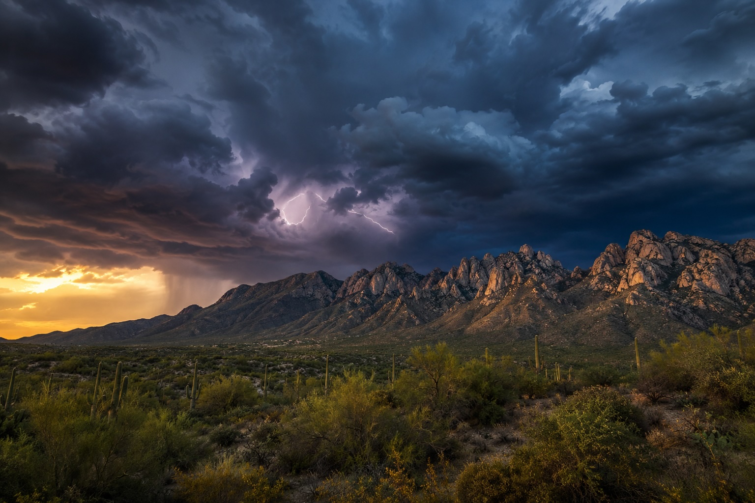
Sonoran Art digital composition of a monsoon storm over Pusch Ridge, Oro Valley.
Here’s where the forecast gets more encouraging. As we move into August and September, the Super El Niño is expected to pump additional moisture into our region from the Gulf of California and the eastern Pacific. National Weather Service meteorologists are pointing to a wetter-than-normal late monsoon as one of the more likely outcomes, with tropical moisture from Pacific storm systems potentially making its way north into Southern Arizona.
That’s the trade-off: more heat and dryness in June and July, then heavier and more frequent storms later in the season. A more active monsoon brings relief from the heat, but it also means more flash flooding, more intense dust storms, and the kind of microbursts that can down trees and damage roofs in a matter of minutes.
El Niño’s most reliable effects in Arizona actually come later in the year. A strong El Niño historically pushes the jet stream farther south in winter, bringing more precipitation to the Southwest. For those of us who watched last winter’s snowpack disappoint across the entire region, that’s a welcome prospect. The forecast currently suggests El Niño will persist through the end of 2026, keeping those wetter fall and winter odds on the table.
Whether this summer turns out to be as intense as forecasters fear or just another Arizona summer, a few preparations pay off regardless:
The bottom line: this summer asks more of us than most. But Oro Valley and SaddleBrooke have navigated intense monsoon seasons before, and preparation makes a meaningful difference. Keep an eye on local forecasts, check in on neighbors who may need help, and don’t wait until the first storm to put a plan in place.
Sources: Arizona Mirror, KJZZ/Rio Salado College, ABC15 Weather, FOX 10 Phoenix, NWS Tucson, AZPM, Oro Valley Stormwater Utility.